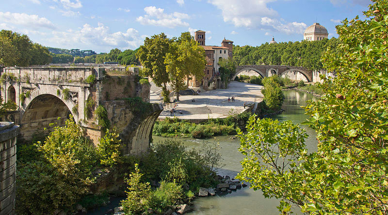
Welcome

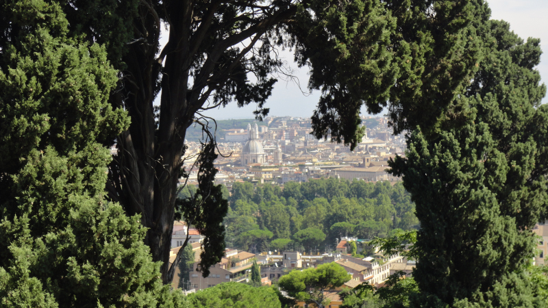
Let’s go visiting Rome from an unusual point of view !

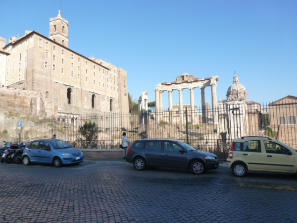
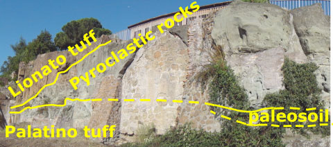
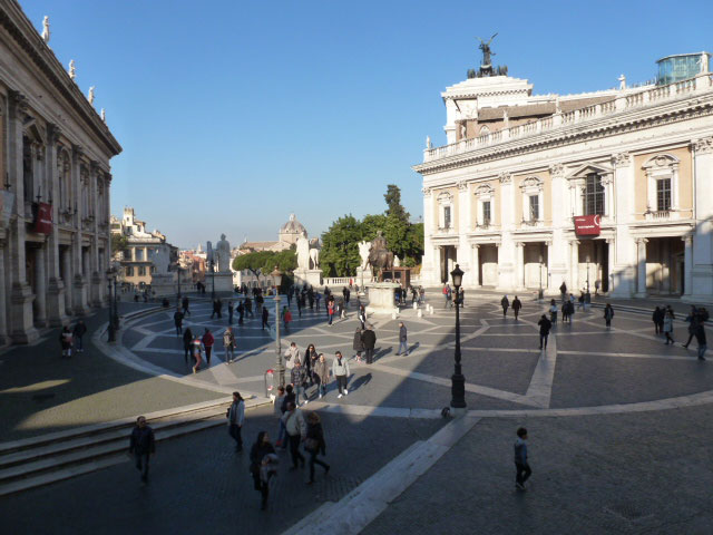
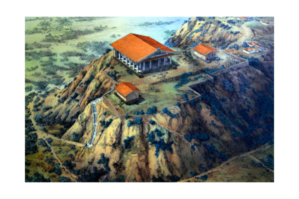
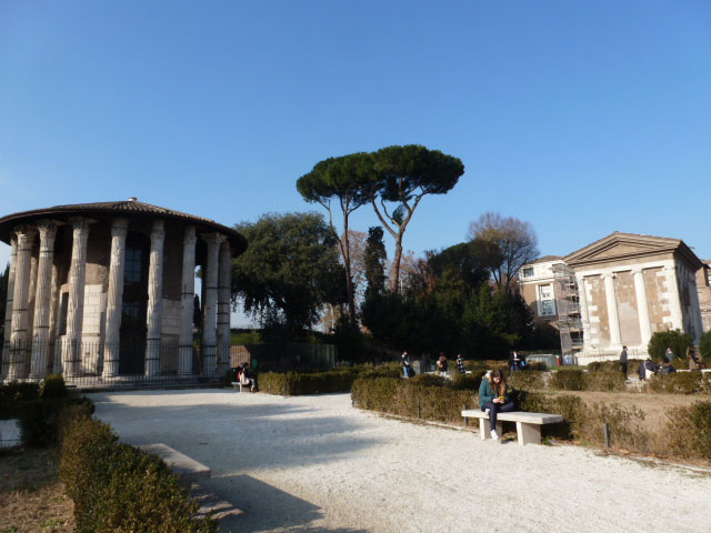
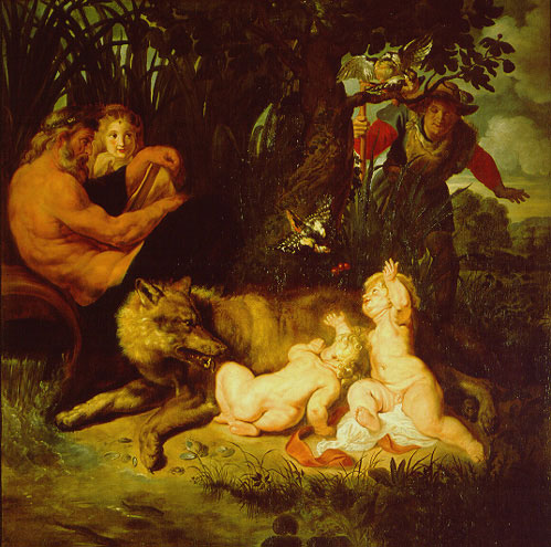
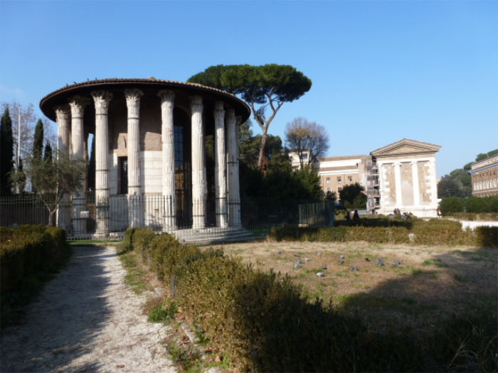
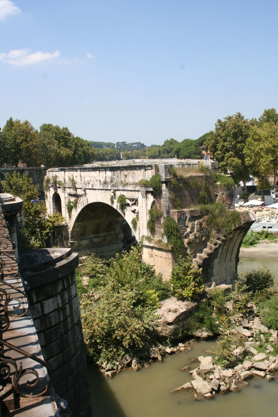
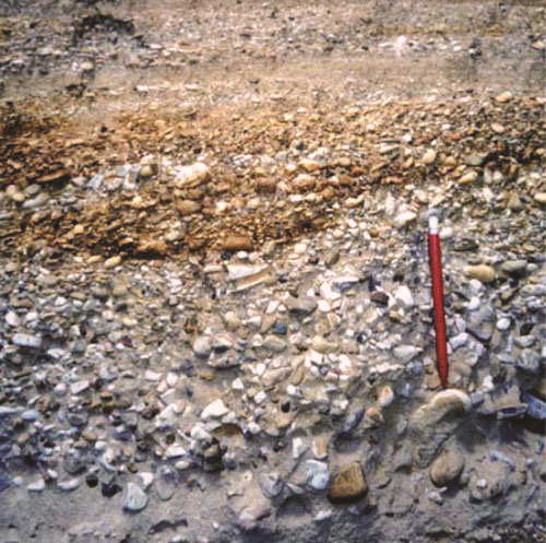
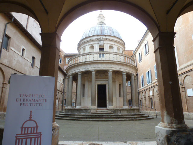
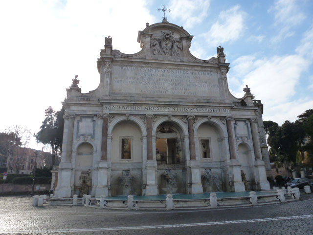
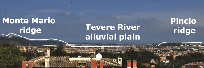
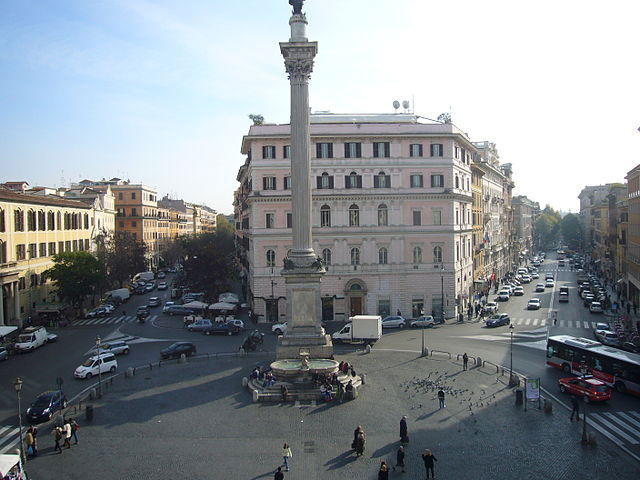
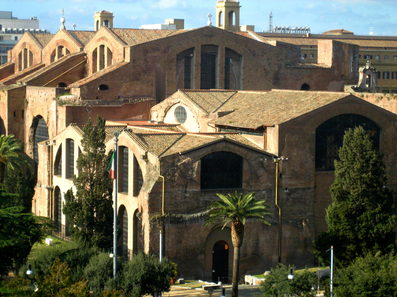
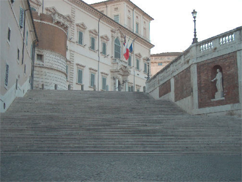
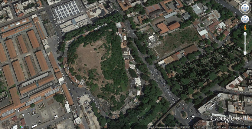
The Department of Earth Sciences, Sapienza University, and the Institute of Geography and Sustainability, University of Lausanne, share their research topics and invite you to discover the city with new eyes: the ancient valley used as stadium, the legend related to the city foundation, the neighborhood changed by urban development, the 7 hills as protagonists and other examples describe the geology, the legend and the history of Rome.

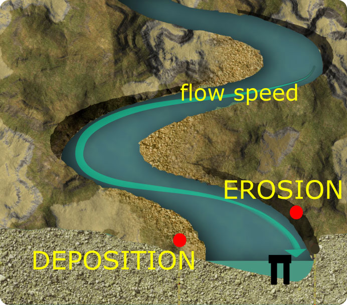
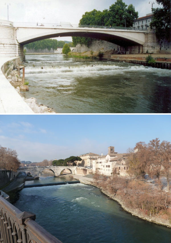
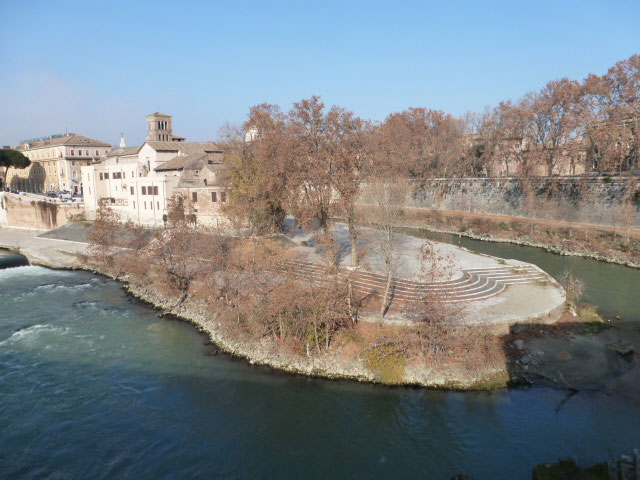
Take time to explore how the landscape of Rome has evolved through the 18 stops proposed.

You can locate the stops on the map and follow the track or choose the stops depending on the THEME of your interest: GEOlogy / GEOmorphology, History, Legend and 7 Hills.

You can find more details and practical assistance for use in the "Other" tab.

Enjoy your trip!

Stops

Themes

GEO
Geology and landforms are the substrate of life, understood in biological and social meaning. The structure and landforms are generated in a long time, a lot more than a human generation, but the man is related to them by the limits and the resources that they can represent. You can find out how the geological and geomorphological history of different places in Rome has influenced the choices of Man.

HISTORY
Rome is a millenarian city, it is so called the Aeterna Urbs. Everywhere in the city you find historical aspects! From the ancient ruins of the kings period, the republican and imperial Rome, up to the Christianity, the Renaissance, the Italian Risorgimento, the fascism and the two World Wars…every place has its story. Let’s find the testimonies of the human history in Rome.

LEGEND
Myths and legends of ancient Rome are tales passed down from father to son, a true cultural heritage which is an integral part of a people. They have different values depending on the content and the message they wanted to give. The characters celebrated become symbol of a people. It is amazing how the legends are related to tangible aspects of the life during period in which they were created.

7HILLS
The Seven Hills of Rome are symbol of geological and human history. Hundred thousands years ago the Latium Volcano eruptions had covered the area with an immense volcanic plateau. The famous 7 Hills have been dissected by fluvial erosion in the plateau and they became stronghold of romans first settlements. Over the centuries Aventino (A)Palatino (P) Capitolino (3) Celio (C) Esquilino (E) Viminale (V) and Quirinale (Q) have conserved their prestigious significance and they host still now the power palaces and villas.A very peculiar hill must be added to the symbolic hills of Rome: Testaccio Mount, an anthropogenic high ground completely formed of potsherds. It is significant for the layering of human activities in Rome. It is a geomorphosite.

Other

A problem? We have what it takes

Help

Navigation

The four tabs in the bar allow you to access the different content of the application. When simply select a specific tab you have new navigation possibilities listed below:

Tab "Welcome"

This tab gives you a brief description of the contents of the application and about context in which it was designed.

Tab "Map"

This tab displays an interactive map of the trail and stops. You have the following functions:

View Stop: The Stops are not displayed directly. Only places that you have discovered in the course of the walk are displayed on the map. The icons will automatically indicate when you get close. Tapping on the icon of a position you can access its content.

Geo-localization: If you have allowed the application to locate your mobile device, your position is displayed on the map as a blue circle.

Zoom: Using the icons + or - on the top left of the screen you can increase or decrease the size of the map.

Scrolling the map: By keeping a finger on the map you can scroll

Tab "Stop"

Using this tab you have direct access to the content of the positions that you have already found without the need to visualize the map. Simply select the name of an extension to access its content. The latter will return you back to the map.

Credits

This application was created by Alessia Pica, Earth Sciences Department Sapienza University of Rome, in collaboration with the Institute of Geography and Sustainability, University of Lausanne. It is based on the Project GeoGuide of the University of Lausanne.

Author: Alessia Pica

Scientific supervision: Emmanuel Reynard and Christian Kaiser

Technical design: Lucien Grangier and Christian Kaiser

Feedback

We'd love to hear your opinion, your suggestions, your return if something did not work as expected. Simply contact us by e-mail at lucien.grangier@unil.ch; alessia.pica@uniroma1.it

More infos

Read more about Rome geomorphological heritage:

Del Monte M., Fredi P., Pica A. and Vergari F., 2013 Geosites within Rome City center (Italy): a mixture of cultural and geomorphological heritage. Geografia Fisica e Dinamica Quaternaria 36 (2013), pp. 241-257, (IT ISSN 0391-9838, 2013) DOI 10.4461/GFDQ.2013.36.0.

Pica A., Vergari F., Fredi P., Del Monte M. (2015) The Aeterna Urbs Geomorphological Heritage (Rome, Italy). Geoheritage, 8(1), 31-42 (DOI) 10.1007/s12371-015-0150-3.

< Back

Circus Maximus

The right shape for the right function!

The Palatino Hill ruins are very well visible and the site is at the base of the hill

The Circus Maximus stadium in the roman period... and today|Google Earth; Photo Pica A. 2012

The Circus Maximus stadium in the roman period...and today| Google Earth; Photo Pica A. 2012

Circus Maximus was a stadium built for chariot races exploiting the Velabrum Maius flat-bottomed valley. The valley perfectly performed the shape of a stadium, the slopes represent the terraces and the flat bottom represent the racetrack.

A representation of the Velabrum confluence with Tevere

A representation of the Velabrum confluence with Tevere| Musei Capitolini, modified by Pica A.

The ancient Roman stadium was built on alluvial deposits of the Velabrum Maius ancient river streaming in this valley. The slopes are represented by Palatino and Aventino hills slope. The Velabrum streaming was drained by the Romans by means of the Cloaca Circi Maximi construction (VI century b.C.), it is an underground pipe that still drains waste waters to the Tevere.

The Circus Maximus was the place where the legendary “Ratto delle Sabine” (Sabine’s women abduction) took place.

< Back

Tarpeian Rock
geosite

Tarpeian Rock a Geosite against traitors

Hey look on the right, the Roman Forum!

photo Pica A., 2015

The Roman Forum | photo Pica A., 2015

The Tarpea Rock is the vertical slope on the south of Capitolino Hill, from here you have a good viewpoint on the Roman Forum. The rock represents a typical section of the ancient volcanic eruptions characterizing the area. Here the ‘Tufo Lionato’ outcrops, a type of volcanic rock that is particularly representative of Rome’s geological history. It is a geosite of regional interest due to this aspect.

The outcrops of Tarpeian Rock

The outcrops of Tarpeian Rock | photo Pica A., 2015

The name of the site is related to the Tarpeia legend. She was the daughter of Tarpeio, the defender of Capitolino Hill. Sabines were in a war with the Romans, so Romulus organised the kidnapping of the Sabine women (Ratto delle Sabine, VIII century b.C.) and their imprisonment in the buildings of Capitolino Hill. The Sabines’ king convinced Tarpeia to open the doors of the prisons and it allowed the Sabine forces to enter the fortress. For this the Romans executed Tarpea as a traitor, throwing her from the top of Capitoline Hill. Since then, the place has been called Rupe Tarpea (Tarpeian Rock) and any traitor has been punished in a similar way.

< Back

Capitolino

From Capitolino Hill…to each Capital in the world

The Municipality Palace of Rome is here (Campidoglio)

A representation of the Temple of Jupiter at Capitolino Hill during the roman time

A representation of the Temple of Jupiter at Capitolino Hill during the roman time | Musei Capitolini, photo Pica A., 2015

The latin word caput (head) gave the name to this hill, because the head of the warrior named Olo (caput-Olo) was found here during the construction of Jupiter temple (about VI century b.C .).

The original equestrian statue of Marco Aurelio and the copy

The original equestrian statue of Marco Aurelio and the copy | photo Pica A. 2012; 2015

The Capitolino hill was one of the first settlements of the Roman society, just after the Palatino hill. It represents the place of the roman government over the centuries. This is the reason why the name 'capital' for each city in the world where the country government is located derives from Capitolino.

Since medieval times the Capitolino hill was the seat of the civil administration of the city, it is well known as Campidoglio. In 1534-38 Michelangelo redesigned completely the square and he built the so called New Palace. The equestrian statue of Marcus Aurelius in gilded bronze was placed at the center of the square by Michelangelo, the original statue after long restoration is now kept in the Capitolini Museums, while in the square was placed a copy of it.

< Back

Mount Savello

Story of a 'ruin-ed' hill…

The Marcellus Theater was east of the Tiberina Island in the early years of Imperial Rome.

The shaded relief of Digital Elevation Model shows a small hill in tha plain, it's Mount Savello

The shaded relief of Digital Elevation Model shows a small hill in tha plain, it's Mount Savello

Mount Savello is a small hill between the Tevere River and the Capitolino hill. The hill results from the accumulation of debris from the ruins of the Marcellus Theatre. The accumulation in the middle of the Tevere plain was quite tall to be considered a cliff and the Savelli family decided to built a mighty fortress on the remains. The name Savello derives from the family name.

Marcello Theatre - Museo della Civiltà Romana

Marcellus Theatre | Museo della Civiltà Romana

The Marcellus Theatre is the only ancient theater surviving in Rome. It was built by Augustus in 13 b.C. and dedicated to Marcellus, son of his sister Octavia, who died very young. The original structure of the theater could seat 15 to 20.000 spectators. He was to later serve as a model for the construction of the Colosseum.

< Back

Forum Boarium

The legend of the founding of Rome began here

The St. Maria in Cosmedin church is in the Mouth of Truth Square, nearby the small park with the Hercules and Portuno temples.

The Forum Boarium was the area where the ancient Velabrum Maius and Velabrum Minus merged into the Tevere (see stop 1). At that time here was a swampy area because of the poor drainage caused by the counter-flow confluence between the Velabrum and the Tevere (see stop 1).

The wolf breastfeeding the twins Romolo e Remo | Rubens P.P., 1612 - Musei Capitolini

The wolf breastfeeding the twins Romolo e Remo | Rubens P.P., 1612 - Musei Capitolini

The legend of Rome’s birth tells that Romolo and Remo were discovered in a hamper between the rushes. The Forum Boarium and the sorroundings (Palatino and Capitolino) at that time could have been right as the area described in the legend where basket of the twin Rome founders’ was found. A wolf had come here to drink water from the swamp and heard the twins crying. The animal breastfed the founders of Rome.

The Portuno and Hercules temple at Forum Boarium

The Portuno and Hercules temple at Forum Boarium | Photo Pica A., 2015

When Rome became a big city the area was drained by means of the Cloaca Maxima and Cloaca Circi Maximi underground pipes. It became an important fluvial port and the temple of Portuno, god of ports, was built here. The latin 'Forum Boarium' means ‘livestock market’, infact here thanks to the fluvial port there were successful trades.

The Mouth of Truth, an old manhole representing a river god swallowing the waste waters

The Mouth of Truth, an old manhole representing a river god "swallowing" the waste waters | Photo Pica A., 2014

The presence of water in the area represent a value still nowadays, infact in the entrance of S. Maria in Cosmedin church you can find the famous “Bocca della Verità” (Mouth of Truth), it is a representation of a fluvial god that, according to legend, is an oracle.

< Back

Ponte Rotto

It must pass still too much water under the bridge

The bridge Ponte Palatino looks at its grand-father just upstream

The Tiberina Island just behind the bridge

The Tiberina Island just behind the bridge | Photo by Bert Kaufmann By Bert Kaufmann CC BY-SA 2.0

The Palatino bridge crosses the Tevere River just south of Tiberina Island. From here we have a beautiful view point on the fluvial isle. But something comes between us and the island… the ruins of Ponte Rotto (Broken Bridge)! the oldest stone bridge in Rome, it is was called Ponte Emilio.

Scheme of the erosion dynamics of a river

Scheme of the erosion dynamics of a river | scheme by Pica A., 2015

Ponte Rotto has been destroyed several times during the centuries by the extraordinary energy of the Tiber at this point.

The dams protecting the isle profile and...the bridge downstream

The dams protecting the isle profile and...the bridge downstream | Photo Vergari F., 2012; Pica A., 2015

The Tiberina Island rises on a meander of the Tevere river. A meander is characterized by strong erosion in the outer bank and the bridge was built just in the point where the meander radius of curvature is higher. In this point the water velocity is very high, especially during the floods. This particular phenomenon destroyed the bridge several times and definitely it was abandoned during the construction of the Tevere retaining walls.The new bridge (Ponte Palatino) is protected by the dams built in 1901.

< Back

Tiberina Island Geomorphosite

The island is in the historical heart of Rome

A peculiar confluence caused the a river bar formation. It became the isle.

A peculiar confluence caused a river bar formation. It became the isle | Bing Maps,modified by Pica A.

The Tiberina Island is the main geomorphosite in this itinerary, it is the only island in Tevere’s urban stretch. Tiberina island was created by depositional processes at the confluence between the ancient Velabrum Maius stream and the Tevere. The alignement between the straight Tevere segment upstream of the island and the axis of the ancient Velabrum Valley (Circus Maximus today) can be correlated with the presence of a tectonic lineament. The origin of Tiberina Island in this position is explained by the conditions described above. The Velabrum stream flow hindered the flow of the Tevere River and caused deposition due to the decreased stream velocity, which generated a fluvial bar. Over time, the growth of the bar formed the island; geological drilling on Tiber Island confirms that the island was formed by fluvial sediments, supporting its alluvial origin and excluding other previously held hypotheses.

Tiberina Island in 1925, see the natural banks still visible

Tiberina Island in 1925, see the natural banks still visible | Hare, A. J. C, 1913; Flickr public domain

There are two legends about the origin of the island: the first one is about Tarquinius Superbus, the last king of Rome. When he was expelled from the city the crops of his family were considered impure and were thrown into the Tevere. The accumulation of mud on the crops would have generated the Tiberina Island.

The boat-shaped marble remains still visible in situ | Photo Pica A., 2015

The boat-shaped marble remains still visible in situ | Photo Pica A., 2015

Another legend is about the shape of the island. During a plague that has afflicted the ancient Rome, a snake sacred to Aesculapius, the pagan god of medicine, was sent by ship from Epidaurus to Rome to solve the problem. The snake escaped from the ship and took refuge on the island. Since then the perimeter of the Tiberina Island was fortified boat-shaped, in celebration of the boat which has brought the snake in Rome. The church of San Bartolomeo in the island was built on the ruins of the Temple of Aesculapius that stood here. The isle is even now sacred to medicine and one of the most important hospitals of the city is here.

< Back

Trastevere

Trastevere, from unhealthy plain to chic neighborhood

It is one of the oldest neighborhood of the city.

The Tevere alluvial plain was marshy, for this reason Romans built the city on the hills

The Tevere alluvial plain was marshy, for this reason Romans built the city on the hills ! scheme Pica A., 2015

Trastevere is one of the oldest neighborhoods in the city. The name is from the latin “trans tiberim”, it means beyond the Tevere. It was a hostile Etruscan area at the time of Rome’s foundation and the Tevere River deeply separate this side from the opposite where the early Rome’s buildings were. During the republican period it was swampy and only poor people inhabited the area, but in the imperial time it became the neighborhood of nobles villas. Nowadays is one of the most popular and rich place of the city, but it retains a popular spirit thanks to the craft shops and taverns.

S. Maria in Trastevere square | Photo Pica A., 2015

S. Maria in Trastevere square | Photo Pica A., 2015

The beautiful church Santa Maria in Trastevere stands on a large square which suggest the flat shape of the ground. Infact the entire neighborhood stands on the Tiber floodplain and this is the reason why for a long time it was swampy and inhabited.

< Back

S. Pietro in Montorio

A Mount made of Gold in Rome…

Reach the fountain over there on the right and drink before to go up by stairs!

The 'Acqua Innocenziana' is a spring, coming out from the fountain below S. Pietro in Montorio walls | Photo Pica A., 2015

The 'Acqua Innocenziana' is a spring coming out from the fountain below S. Pietro in Montorio walls | Photo Pica A., 2015

The slope of Gianicolo hill drains an aquifer of gravels lying on marine clays. Several springs gush from the contact between these materials. Among the most important historical springs in the Gianicolo area there is the ‘Acqua Innocenziana’ spring. The water flows into a fountain located in the road that runs under the walls of the S. Pietro in Montorio monastery.

The contact between gravels and yellow sands of Montorio slope originate lots of springs | Succhiarelli C., 2010

The contact between gravels and yellow sands of Montorio slope originate lots of springs | Succhiarelli C., 2010

The name Montorio derives from the latin Mons-Aureum, Mount made of Gold (Monte di Oro in italian), that is the colour of the sands outcropping here.

Tempietto del Bramante | Photo Pica A., 2015

Tempietto del Bramante | Photo Pica A., 2015

The area of the monastery is considered the place where the martyrdom of S. Peter took place, not too far from the Vatican were he was buried. In memory of this in the courtyard of the monastery there is the famous Tempietto del Bramante monument. It is a small temple of the Renaissance style, one of the best work of the Italian architect Donato Bramante.

< Back

Gianicolo Fountain

Gianicolo Fountain celebrating Romans hydraulic engineering

The charm of the monumental fountain is well known thanks to 'La Grande Bellezza' movie

During the XVII century people who were living in Trastevere became so much that the Gianicolo springs were not sufficient to supply water to the residents .The Pope Paolo V ordered to restore the ancient Traiano aqueduct to supply water from the Bracciano Lake (30 km north of Rome). The monument called ‘Fontanone del Gianicolo’ celebrates this work, it is a very big fountain filled with 'Paola Water', from the name of the pope who wanted the fountain. A balcony is located in front of the fountain, much of the city center and its landforms are visible from this location.

The Tevere Valley urban stretch | Photo Vergari F., 2012

The Tevere Valley urban stretch | Photo Vergari F., 2012

The Tevere River floodplain is enclosed between the Mount Mario ridge on the left and the hills of Rome on the right. In particular from this view point can be observed the Pincio hill on the right. They are representative of the Tiber River Valley orography.

The ancient volcanic complexes surrounding Rome | scheme by Pica A., 2015

The ancient volcanic complexes surrounding Rome | scheme by Pica A., 2015

The river carved its valley just along the boundary between two volcanic complexes: The Sabatini Volcano to the north and the Latium Volcano to the south.

< Back

Gianicolo

The Balcony of Rome

The rounded square at the top of Gianicolo hill is Piazza Garibaldi. Beware the shot of the cannon !

Piazza Garibaldi | Photo Pica A., 2015

Piazza Garibaldi | Photo Pica A., 2015

The Gianicolo hill is a very different one from the hills on the east side of the Tevere. It is 88 meters high and the rocks under your feet are continental and marine sedimentary rocks. Whereas, the eastern hills and the famous 7 Hills of Rome (max altitude 50 meters) were dissected by fluvial erosion in the volcanic plateau that was created by the explosive activity of Latium Volcano hundred thousands of years ago. The plateau is the quite flat area visible from the balcony, it is difficult to recognize the hills because of the urbanization . But their scarps delimit very well the Tevere alluvial plain.

The cannon shot! | esercito.difesa.it

The cannon shot! | esercito.difesa.it

The square on the top of Gianicolo hill is a symbol for the Italian Risorgimento, the period leading to unification of Italy. The statue of Garibaldi shows the value of the italian patriot. Do not be surprised if you hear a shot! according to tradition, the old 'Cannone del Gianicolo’ (the Gianicolo cannon) fires at noon everyday, to announce the midday to all the roman bells.

< Back

Aventino

The hill closest to the Tevere

The Aventino hill has steep slopes, in particular the slope on the Tevere was molded by the river itself that flowed at its feet milions of years ago. It was the hill that Remo chose for the foundation of the city, but...his brother killed him and founded Rome on the Palatino hill. Palatino and Aventino are divided by the ancient Velabrum Valley (Circus Maximus stadium, see stop 1).

The S. Pietro Basilica Dome from the keyhole | St. Peter's Basilica seen through a keyhole at the Villa Malta, Photo by AngMoKio CC BY-SA 2.5

The S. Pietro Basilica Dome from the keyhole | St. Peter's Basilica seen through a keyhole at the Villa Malta, Photo by AngMoKio CC BY-SA 2.5

On this hill are the Oranges Garden and the famous keyhole from which is visible the S. Pietro Basilica dome. It is the key hole of the Malta Embassy.

< Back

Palatino

Here Romolo built the first walls of Rome

Legend tells that Rome had its origins on the Palatino by the will of Romulus. From an initial cluster of huts he formed the "squared Rome", so named by the shape of the top of the hill. The hill overlooks from one side on the Roman Forum and the Circus Maximus on the other. The site is now a large open-air museum and can be visited during the day, the entrance is on the side of the Forum.

The Domus Augustana stadium in the Palatino open-air museum | Pica A., 2015

The Domus Augustana stadium in the Palatino open-air museum | Pica A., 2015

< Back

Celio

The Celio park has a good view on The Colosseum

The western part of the hill is verdant, it calls to mind the original name of this hill. It was Querquetulanus due to the abundance of Quercus (oaks). The name Celio derives from Celio Vibenna an Etruscan who helped Servio Tullio becoming the sixth king of Rome.

During the Imperial Rome period it became the place where several castra (barracks for troops) arose. Still nowadays this hill has a military significance, here is the Celio Military Hospital.

< Back

Esquilino

The early Rome expansion on the 7 hills

Esquilino is the highest of the famous 7 hills of Rome. It includes the Oppio hill looking toward Colosseum and the Velia hill that was erased during fascism to built the Fori Imperiali street. It is inhabited since the VIII century b.C. and it was part of Septimontium, which represents the expansion phase of Rome that followed the “Roma Quadrata”, the original core of the city.

< Back

Viminale

The thickets of salix viminalis gave the name to the hill

The smallest of the Seven Hills of Rome, the Viminale is shaped like a little finger pointing towards the central city. It was covered by willows (salix viminalis)and it was perfect to host the Terme di Diocleziano, which were renowned as the grandest of the public baths. At the top stands the palace of Viminale, which is the office of the Ministry of Interior.

< Back

Quirinale

Quirinus god and Italian Republic: symbols of unity at Quirinale hill

The maximum height of the hill (about 57 meters) can be reached at Via delle Quattro Fontane street, where the existing soil is virtually the same level as the ancient one. The side valleys were deeper than now because they were filled at various times,in example on the Via Nazionale slope the ancient level is located less than 17 meters below ground. According to Roman legend, the Quirinale hill was a small village of the Sabines and the hill was united with the city born on the Palatino (romans first settlement) after the peace between Romans and Sabines (see "Ratto delle Sabine" in stop 2). Here was a temple to Romulus, who was related with Quirinus god of unity among the Sabine's cities, so the hill was named after him: Quirinale. Today the official residence of the Italian Republic President is headquartered here in the eponymous palace, national symbol of unity.

< Back

Testaccio

A bunch of shards!

The hill is made up of countless layers of potsherds, in Latin testae hence the name of the hill.

Potsherds layering | Photo Pica A., 2013

Potsherds layering | Photo Pica A., 2013

Testaccio Mount is the highest artificial hill of Rome, with a height of 48 m a.s.l. and a circumference of 1 km. It is a geomorphosite thanks to its peculiar anthropogenic morphogenesis. The hill is made up of countless layers of neatly arranged shards (in Latin testae, hence the name of the hill). The shards are derived from oil amphorae from the ancient Emporium fluvial port. The amphorae fragments were accumulated between the Augustan period and the midthird century A.D. .

Natural landforms on anthropogenic materials: a small potsherds landslide | Photo Vergari F., 2012

Natural landforms on anthropogenic materials: a small potsherds landslide |Photo Vergari F., 2012

Over the centuries, the accumulation became an hill, vegetation grew, and erosion occurred on the slopes. Water erosion effects and small landslides are present on the hill, reflecting the naturalization of the hill.